Go on a tour of interesting things to look at from space: Google Sightseeing. [via]
Month: April 2005
-
Google Sightseeing
-
Planet under pressure: BBC NEWS in depth
-
Memory Maps
Yesterday I found myself emailing satellite images that I found on Google Maps to my family. I was sending images of the places we used to live and hang out etc. It was like a little virtual tour down memory lane for me. Tonight I can’t sleep. I was lying awake so long thinking about this so long that I thought I’d post about it instead of just lying there. By the time I’m done this I’ll be able to sleep…
I can remember being blown away that satellites had like 2 meter resolution when I was first learning about satellites. I can remember looking into the sky and wondering if someone was looking back. I used to look through the skylights (or windows on the ceiling) and thinking about it. Now courtesy of Google I’m the one looking down. Its a very different perspective. That back yard that used to seem impossibly huge when mowing the lawn now appears quite minuscule.
Now that it’s as easy as Google to find satellite images (of North America) it got me thinking about the idea of allowing people to annotate the images ala Flickr Notes style. Wouldn’t it be cool if you could post a note saying hey that’s my house! Or I went to school here from Grades 1-3! Obviously this would get out of hand quickly but I think its quite interesting because it would be like a place to put our collective memories.
So as an exercise I went looking on Flickr and what do you know!? There’s already a Flickr group called Memory Maps.
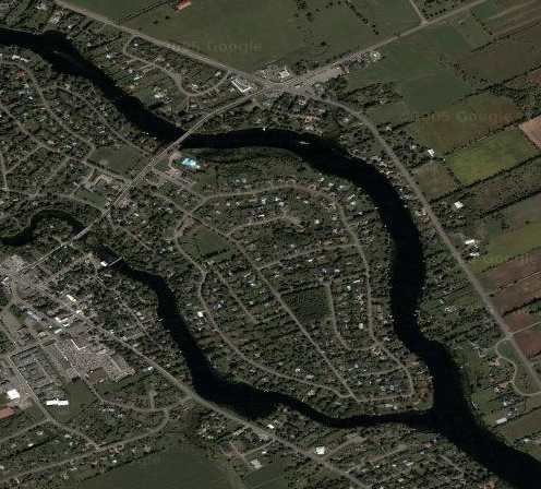
Does my family want to post some notes and get in on a little collective memory? Click the image below and go see some things we used to do in my little town.

Matt Haughey seems to have the same idea.
Look at these pics he found:
Burning Man Camp
Honolulu
Cool BoatHere are some other cool images:
Canada:
CN Tower Toronto
Parliament Buildings Ottawa
United States:
Golden Gate Bridge San Francisco
World Trade Center New York
Hmm… Can you guess this one? (notice some censored parts)
Why no censoring here?
US – Mexican border (San Diego / Tijuana)
Grand Canyon (I think)
The Getty Los Angeles
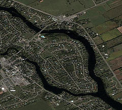
My old home town: Manotick Ontario
googlemap, googlemaps, manotick, memorymap, memorymaps, Ontario, Ottawa, photo, photo by @thelastminute, Photo by Duncan Rawlinson, satellite, thelastminute
Breakdancing for the Pope Video
 In honor of the passing of his Holiness I present: Breakdancing for the Pope. (2 MB .mov) You can see how the Pope enjoys these dudes bustin moves. Not sure who shot the original clip bit I found it: [via] [via] [via]… I ganked it and dumped some tunes over it… The song is called Schooled in the Trade.
Vimeo
I posted a couple little videos on Vimeo. Enjoy.
Google Maps – Now with Satellite Images !
1600 pennsylvania ave.,washington d.c. [via]
Go ahead get all big brotha!
Veer: The Skinny: Japanese Body-Poppin’
Sweet poppin and lockin music video. [via] (14 MB .mov)
Florida March 2005
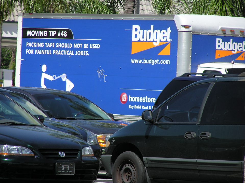
budget, Flda, Florida, funny, humor, movingtip, photo, photo by @thelastminute, Photo by Duncan Rawlinson, thelastminute, UnitedStates, USA
Florida March 2005
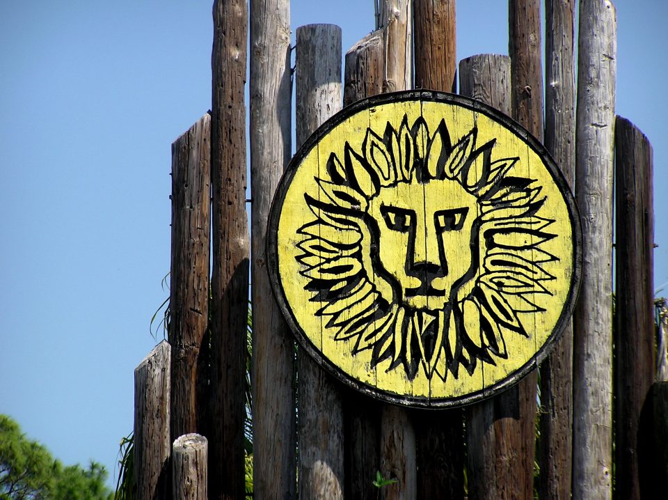
Flda, Florida, lioncountrysafari, photo, photo by @thelastminute, Photo by Duncan Rawlinson, thelastminute, UnitedStates, USA


