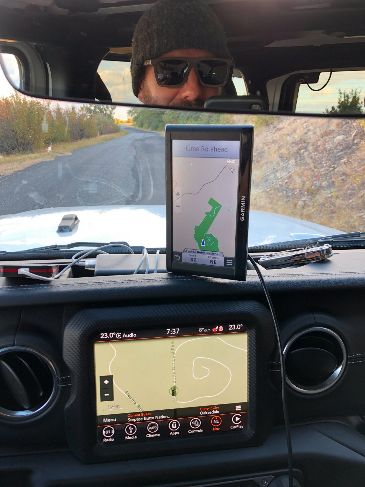
The route on my GPS’ looked kinda funny here. I realized later it was a selfie too! (Steptoe Butte)

The route on my GPS’ looked kinda funny here. I realized later it was a selfie too! (Steptoe Butte)
Dorothy and I are traveling for an extended period of time. We decided to do a Tim Ferris style mini retirement and just go mobile for a while.
What follows is a map of our GPS tracks from our trip so far. The red line is where we’ve been so far. This is the exact route we’ve taken, whether it’s walking, by train, or by plane. We’ve been use a wrist watch GPS to log these tracks so this is accurate to a few meters of resolution. Zoom right in on Madrid, Spain and you’ll see why Dorothy has a blister from walking so much ;) Or zoom in on Paris and see why I took like 3000 photos in a couple days. We’re just getting started on our trip but this map is dynamic so it will update over time automatically.
Part 1
View Larger Map
Part 2
View Larger Map